Booking Terms and Conditions
Please, read MMT’s ‘Terms and Conditions’ carefully prior to trip booking
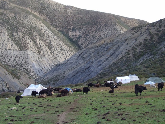
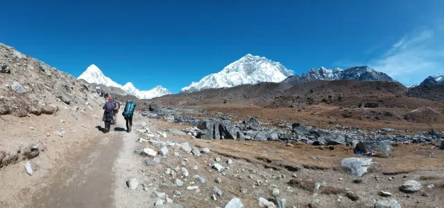
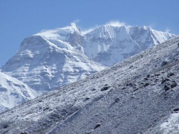
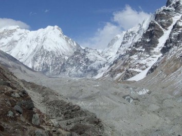
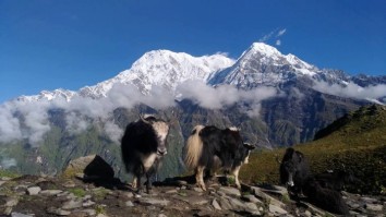
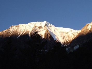
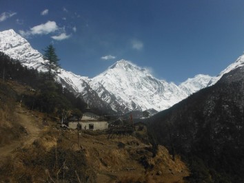
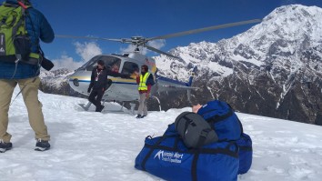
Trekking or Mountaineering in the higher elevation of the Himalayas is one of the most adventurous endeavors which inherit the risk of AMS or injuries or even death. MMT is always concern regarding the comfort, safety and health of trekkers while meandering in higher altitude. We contribute great effort to reduce or control the risk and hazard; but sometime nature’s curse or fluctuate climate in Himalayas is beyond our control and we are not responsible for it.
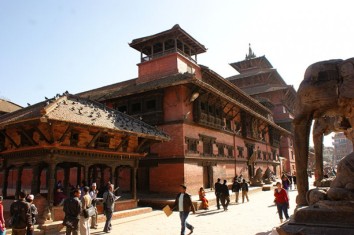
If you are a keen adventure lover and are ready to follow the hereby mentioned Terms and Conditions then you are heartily welcome at MMT office, Kaldhara-marg, Paknajol, Thamel, Kathmandu, Nepal.
BOOKING TERMS AND CONDITIONS:
1. All the bookings of the packages are dealt with Mountain Mart Treks and Expedition which is an authorized adventure company based in capital of Nepal: Kathmandu.
2. The term ‘Trip’ formally refers to walking, sightseeing, treks, tours, mountaineering, expeditions or holiday in the mystical land, Nepal.
3. MMT faithfully offers all the amenities in the estimated price of the package.
4. Please go through itinerary page or trek inclusion page for the detail information of the cost transparency. The trek cost may vary from one package to another and some packages don’t include the cost of the following:
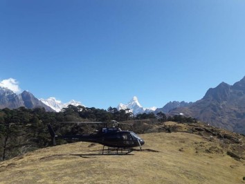
- Personal travel insurance, medical assistance and helicopter evacuation.
- Visa, Passport and transit point expenses.
- Extra meals, entertainment activities, accommodation, transportation costs are not included in the itinerary.
- Laundry, postal, medicine, clothing, gears and personal expenses.
- Tips and excess baggage charge.
5. The travelers must pay 20% upfront out of the total trip cost for the trip conformation.
6. You can pay the booking conformation amount either by credit card and wire transfer, both payment option subject to charge additional bank service fees upto 4% on top of the sum.
7. The trip will be booked once the payment is made by the travelers. We will send you the conformation letter through online and assure to provide all the service detail as mentioned in the itinerary.
8. The final payment must be submitted at the MMT office before the tip departure. Otherwise, you will not be legitimate for trip and no final documentation will be disclosed before the payment.
09. Regarding trip cancellation, we entertain free trip cancellation service upon submission of trustable reason before 90 days of the departure date upon adequate evidence and written reasons.
10. If you cancel the trip 60 days prior to the departure date then 75% cancellation fee will be levied from the booking amount.
11. 85% cancellation fee will be levied if you cancel the trip before 30 days of the trip departure date.
12. The company will be unable to refund the earlier paid (20%) booking payment if you cancel the trek prior to 15 days of the departure date.
13. There will be no payment refund if you voluntarily leave or cancel the trip once it is started; but if you are forced to leave due to unforeseen immediate circumstances then payment can be refunded after proper discretion.
14. We guarantee your safe and successful trip; however, the company reserves the authority to cancel the trip if there will be no minimum number (2) of travelers. In this condition, company will postpone or manage alternative trip.
15. If the company cancels the trip due to any unforeseen circumstances which are beyond our control (i.e. natural disaster, flight cancellation, strikes, wars, riots, quarantine, government intervention policy, weather condition), we will refund after deduction of minimum operating cost involved.
16. If you want to change your booking date, the booking amendment request must be made 90 days prior to the original trip departure.
17. If trekkers demand to change the departure date prior to 60 days of the final departure, US $ 50.00 per person will be charged as cancelation fee. The charge of the trip may also be increased if the market price soars higher during the postponed trip date.
18. The policy of our company is: Trekkers must have insurance policy contract if they want to trek with MMT. The policy must feature: medical coverage, air ambulance, helicopter evacuation facility, as well as flight cancellation insurance if possible.
19. Mountain Mart Treks and Expedition organizes various adventurous trips which have high risk factor and demand more physical stamina plus training. If you can’t accomplish the trek due to your physical inability or sickness, we are not obliged to refund the payment.
20. There may appear hindrance, obstacles or circumstances like: political riot, insurgency, accident, climate change, or natural disasters during the course of trip. Make sure you are ready to deal with all these problems.
21. The trip route, accommodation, modes of transport may be changed without prior notice due to the unforeseen circumstances. It is for your convenience and safety, so hope you will display flexible human nature in this context.
22. While changing the route, transportation, accommodation, or itinerary due to above circumstances, we may charge additional cost or lessen the cost as per the total expenses of the entire trek.
23. MMT holds all the authority to decline, accept, detain or retain any members of the trip if we find anyone suspicious or indiscipline. If you want to trek with MMT, you must accept our leadership during the whole trip.
24. MMT has contracted with network of companies, government of Nepal, individuals to assist the travelers during the trip. These third parties are qualified to perform their duties as contracted. We are not liable in case of loss, damage, irregularities if the third parties don’t perform their duties properly.
25. MMT is not responsible for the violation of any law or rules committed by the travelers in any country.
26. This agreement is governed by the laws of the Government of Nepal. No any individual: employees, representatives, guides of the company can alter the terms and conditions.
27. These terms and conditions may only be waived in special circumstances with written application to the director. Only the director of the company has all the right to amend them.
28. Travelers must be physically and mentally fit for the trekking. It is compulsory to bring health certificates along with proper legal documents for trip approval, if asked.
29. If the flight is cancelled or get delayed due to fluctuate climate or any other causes, MMT is not responsible for the extra expenses or compensation. We can manage alternative arrangement on special request which may demand other extra cost.
30. We have displayed the authentic, genuine and accurate information on our official website and brochure. If any mistake, incomplete or wrong information is seen, please inform us on time.
31. Please read all the above mentioned ‘Terms and Conditions’ before making the bookings. You must abide these conditions if you fancy to trek in the Himalayas with Mountain Mart Treks (MMT)